
Real-Time Location System (RTLS) Enablement for Large Manufacturing Facility
Context
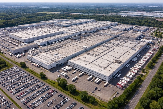
A large automotive manufacturing facility had deployed Cisco DNA infrastructure for indoor tracking, but the system was not usable for real-time operations.
Problem
Cisco’s coordinate system did not align with the plant’s internal XY grid used in facility layouts.
As a result:
- Location data could not be mapped to actual production zones
- Tracking lacked the precision required for operational use
- Existing infrastructure could not support real-time decision making
Approach
Engineered a spatial transformation layer to convert Cisco coordinates into the plant’s grid system with high positional accuracy.
Key steps:
- Mapped Cisco coordinate space to facility CAD layout
- Built a grid-based alignment model reflecting real plant geometry
- Calibrated positioning using known reference points across the floor
- Refined logic to achieve zone-level and near real-time accuracy suitable for operations
Result
- Enabled a functional Real-Time Location System (RTLS) across the facility
- Achieved high-accuracy asset tracking aligned with production zones
- Transformed unusable data into real-time operational visibility
- Eliminated need for additional hardware investment
- Reduced asset search time significantly by 95%
Tools & Methods
Python, spatial mapping, coordinate transformation, CAD integration
Notes
Details generalized due to confidentiality.